Three Bridges, Two Creeks, One Afternoon
Traffic thins out once you leave Route 52, so on a weekday you’ll often have the road mostly to yourself. Bring a camera and low expectations about how fast you’ll move. You will stop more than you planned to. Delaware’s three surviving covered bridges are Ashland, Wooddale, and Smith’s Bridge. Two cross Red Clay Creek; the third, Smith’s, crosses the Brandywine. All three carry public roads through New Castle County, north and west of the city.
It used to be a much longer list. Delaware once had more than thirty-five covered bridges, and by 1937 only five were left standing: Smith’s over the Brandywine, Yeatman’s over White Clay Creek, and three over Red Clay Creek. Two of those Red Clay crossings survive today. That’s rare enough that neighboring Chester County, Pennsylvania, still counts its covered bridges by the dozen. Ashland and Wooddale were both added to the National Register of Historic Places in 1973. Smith’s has a rougher story.
More on that below.
- Ashland Covered Bridge: Barley Mill Road over Red Clay Creek
- Wooddale Bridge: Fox Hill Lane over Red Clay Creek
- Smith’s Bridge: Brandywine Creek at Beaver Valley
Ashland Covered Bridge: The Oldest One Standing
Ashland is the one to see first: it’s the only original covered bridge left in Delaware. Built around 1860 on Barley Mill Road, it still carries traffic over Red Clay Creek. The construction is a Town lattice truss, a nineteenth-century design meant to be buildable by any decent carpenter.  Ashland’s version used oak timbers pegged together with hardwood dowels called trunnels, not bolts. The bridge runs 51 feet 9 inches long, on a deck 14 feet 6 inches wide, with steel I-beams added underneath in 1982 to take the load.
Look at the portals as you approach: pilasters and flared capitals dress up what is otherwise a working country bridge with a bit of classical detail.
The Ashland Nature Center sits right beside it, making this the natural place to stretch your legs before the rest of the drive. Worth knowing: the bridge has closed for repairs more than once over the years, so check before you go.
Wooddale Bridge: Lost to a Storm & Rebuilt
 Wooddale is Ashland’s twin, about two and a half miles away. The original was built around 1850 over Red Clay Creek at Fox Hill Lane, and the two bridges are thought to share the same builders. Stand at one, then the other, and the family resemblance is obvious.
What makes Wooddale different is what happened to it. Flooding destroyed the bridge in 2003, and the first replacement was a plain steel span. A proper covered lattice truss went back in later, which is why the bridge you drive through today looks period-correct but isn’t the 1850 original.
Cross it and you’re in Wooddale itself: a small, charming community that once had a post office, a church, a school, a general store, a hotel, and a train station. A few historic houses are all that remain. It takes about ninety seconds to drive through, and it’s one of the quietest corners of the county.
Photo credit: Lisa Rapko / Shutterstock
Smith’s Bridge: The Longest Crossing on the Brandywine

Smith’s Bridge (or Smith Bridge, as some call it) is the longest of Delaware’s three covered bridges and the only one to cross the Brandywine. The original bridge dates to 1839, stretching roughly 143 feet across the creek near Beaver Valley, just south of the Pennsylvania state line. Its history has had its share of challenges, including a fire intentionally set on the night before Halloween in 1961.
It was rebuilt without a cover at all, and drivers crossed an open bridge for four decades. A new covered bridge was built in 2002 in the spirit of the 1839 original, and it’s the one visitors cross today. As you approach, look to the rise on your right for Granogue, recently acquired by Longwood Gardens and easily recognized by its old stone water tower. The estate remains private property, so enjoy the view from the road as you pass. Past the crossing, the Beaver Valley section of First State National Historical Park opens up on the right: marked trails, creek views, and rarely crowded, even on a good fall weekend.
Worth a Stop Along the Way

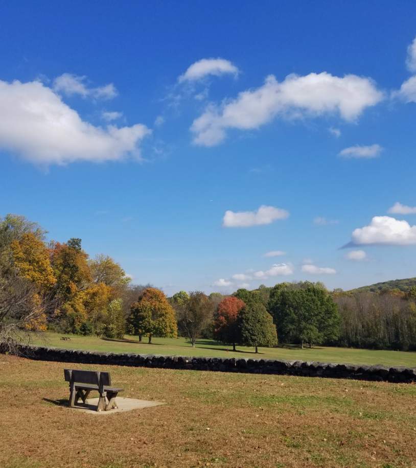
Fall color in northern New Castle County usually runs mid-October through the end of the month, though it shifts year to year with the weather. Pennsylvania’s DCNR publishes a weekly foliage report that works as a decent proxy for the valley, since the state line runs right through it.
Mt. Cuba Center: Naturalistic gardens on a former du Pont estate, a short detour from Barley Mill Road, open April through mid-November.
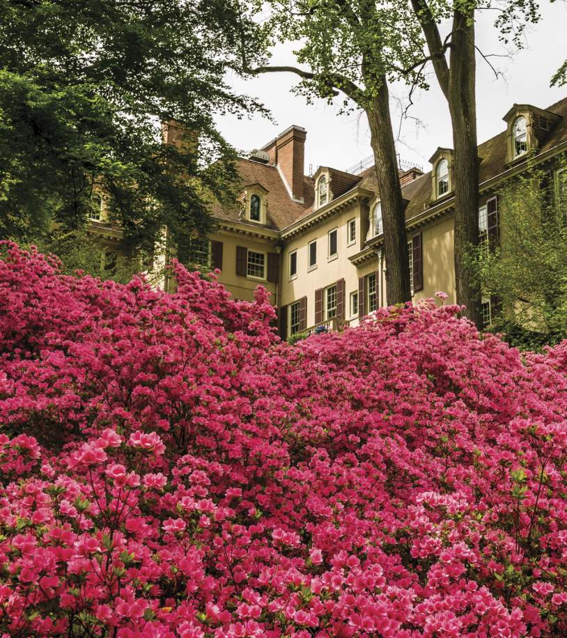
Winterthur Museum, Garden & Library: Henry Francis du Pont’s home, with 60 acres of garden that hold up beautifully in autumn.
Brandywine Creek State Park: Easy walking near Smith’s Bridge, with good color along the water.
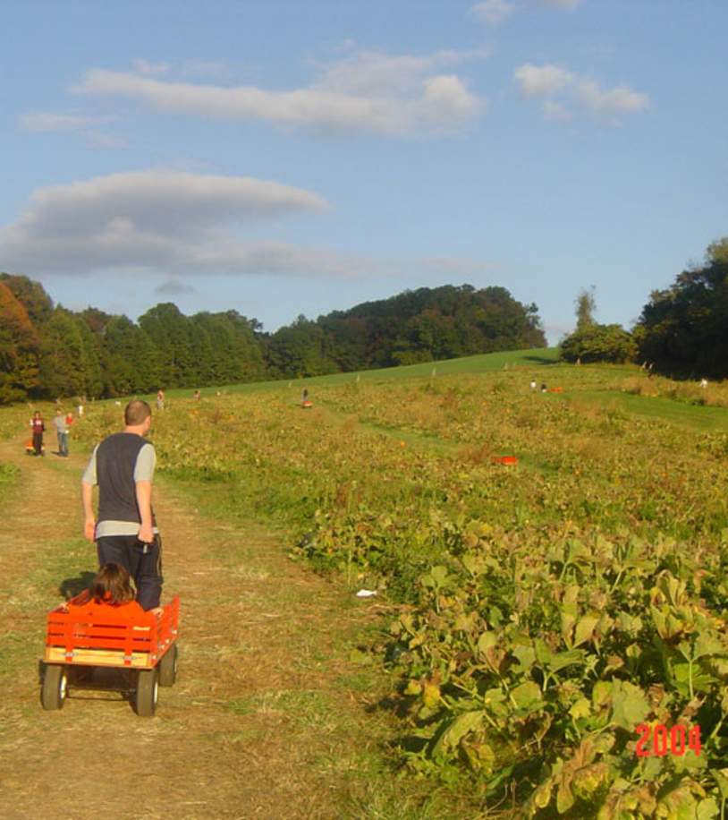
Ramsey’s Farm: Pumpkins, corn mazes, and farm animals, right on the Brandywine Creek Road stretch.
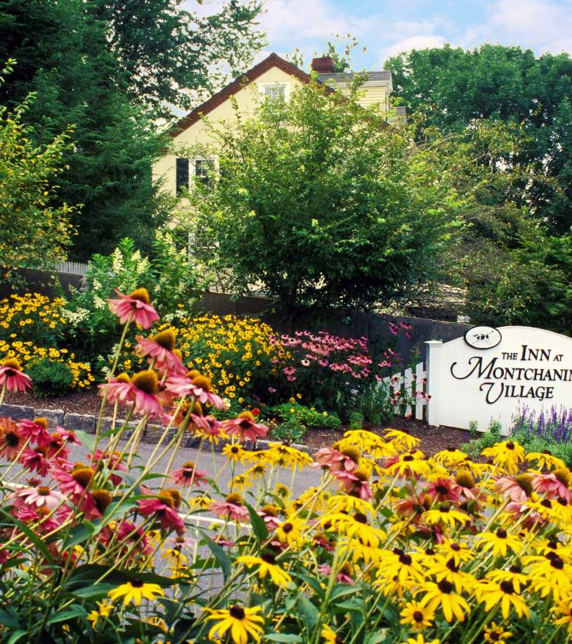
Inn at Montchanin Village & Spa: Former workers’ quarters for the du Pont gunpowder mills, now the place to stay if you stretch the drive into a weekend.
More seasonal ideas are on the fall events page.
Three bridges, two creeks and a network of scenic back roads are all you need to create an unforgettable Northern Delaware itinerary, especially when you’re willing to take the long way around. Pack a flask of coffee, go on a weekday morning if you can, and enjoy! Request our Visitors Guide, and we’ll send you the maps to go with it.